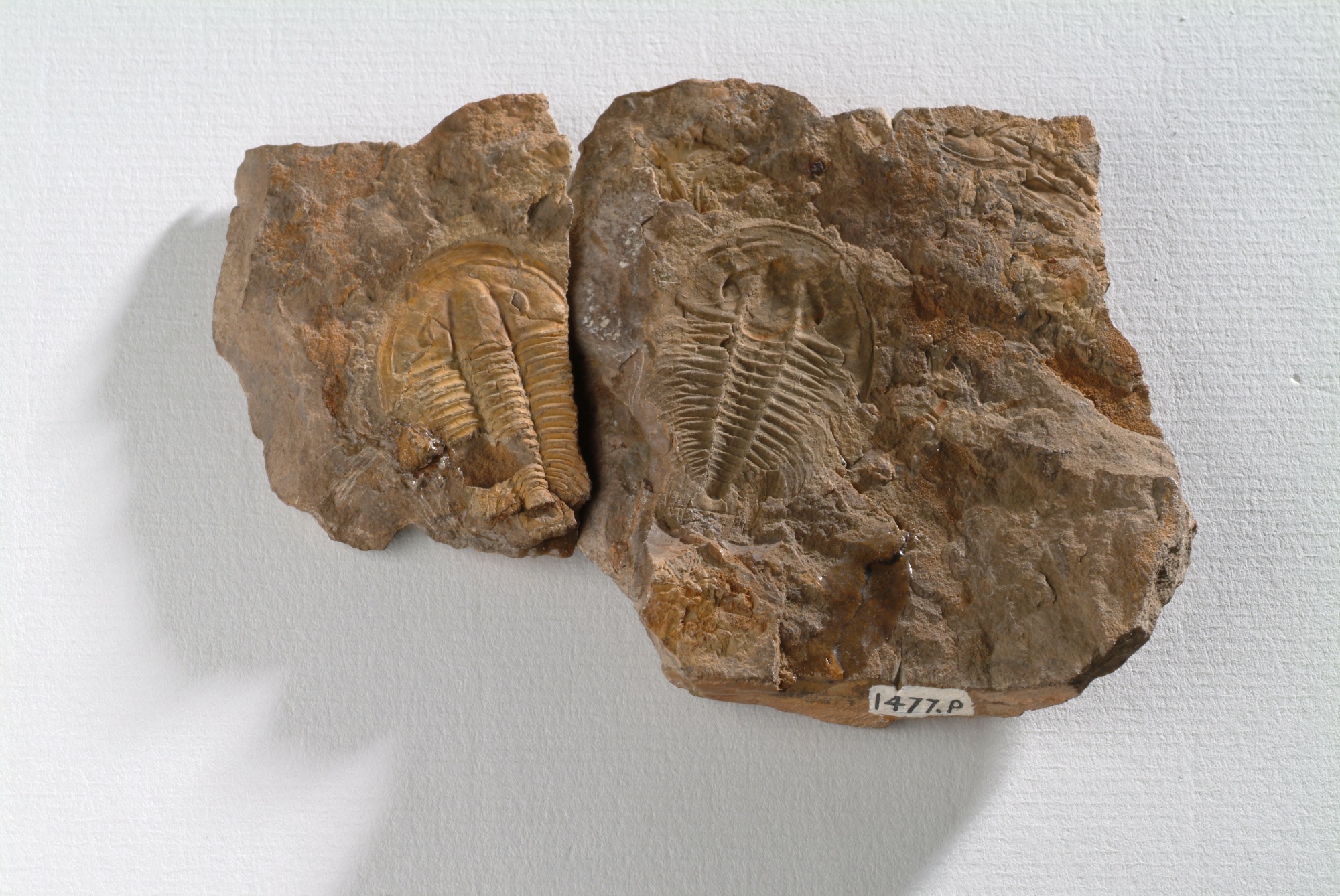
METIQ

Stato progetto
In corso

The METIQ (namely “Modello Evolutivo del Territorio Italiano nel Quaternario”) project is a scientific initiative aimed at building a robust evolutionary model of the Italian territory in the Quaternary at 1:500,000 scale. More than 150 scientists from the italian Quaternary community are contributing to METIQ on a voluntary basis from academic and research institutions within AIQUA, the Italian Association for Quaternary. Furthermore, three major italian research institutes with a specific institutional mandate on Quaternary topics (ISPRA, INGV, CNR and OGS) have signed a collaboration agreement for METIQ project implementation.

The Urban Geo-climate Footprint

Stato progetto
In corso

The Urban Geo-climate Footprint (UGF) is a new approach, designed by geologists from the Geological Survey of Italy (ISPRA), based on a tool aiming to classify and cluster cities from a geological point of view.

SOIL HUB

Stato progetto
In corso

The SOIL HUB project, funded by Ministry for agriculture, food and forests policies, started in 2019 and will last since 2024.

The aim of the Soil HUB is to develop knowledge, tools to foster climate-smart sustainable agricultural soil management and an integrated research community that can interact with the European Joint Programme (EJP) and the Global Soil Partnership (GSP), helping to overcome the fragmentation of research and to strengthen the knowledge in order to mitigate the negative impacts of climate change on the agricultural sector and soil ecosystem services. These objective should be reached through harmonizing and integrating data and information on soils, including the database on quality indicators.

The project address also the strengthening of scientifc competences with courses for students and researchers, the development of harmonized methodologies for the creation of a pedologic database,  the establishment of a network of laboratories in collaboration with FAO-GLOSOLAN and the production of documents for policy makers. ISPRA contributes with the know how on earth observation data management, land degradation monitoring and sustainable soil management policies.


EJP SOIL

Stato progetto
In corso

EJP SOIL is a European Joint Programme cofund on H2020 CE programme on agricultural soil management, contributing to key societal challenges including climate change and future food supply. EJP SOIL targets climate change adaptation and mitigation, sustainable agricultural production, ecosystem services and restoration and prevention of land and soil degradation.

ISPRA effort is related to supporting harmonised European soil information, including the one for international reporting, developing innovative techniques to monitor Soil Organic Carbon stocks and soil degradation/restoration changes in the EU and providing indicators, allowing a better soil monitoring at the national and the European scale. ISPRA will also contribute to development of tools supporting policy implementation for sustainable soil management to fit the complex agroecological systems in different EU pedo-climatic zones in Europe, considering the contribution of soils to climate mitigation and adaptation.

NewLife4Drylands

Stato progetto
In corso

NewLife4Drylands is a LIFE Preparatory Project co-funded by the European Union under the LIFE programme, started on January 2021 and ending in June 2023.

NewLife4Drylands deals with the specific need set by the “Life-Environment” subprogram “Restoration of desertified land through nature-based solutions” to contrast the soil degradation leading to desertification by using NBS. NewLife4Drylands focuses on developing a protocol based on remote sensing techniques for the identification of a framework for achieving land degradation neutrality (LDN), combating desertification and for a mid and long-term monitoring of restoration interventions on desertified lands.

The protocol will be an instrument for a clear, specific and costless assessment of the restoration process useful for further decision-making concerning restoration interventions. Six European areas (two in Greece, two in Spain and two in Italy) affected by land degradation and desertification will be involved in case studies to gather data serving as input for the protocol.

Europlanet - GMap

Stato progetto
In corso

Europlanet links research institutions and companies active in planetary research in Europe and around the world. Planetary science is an interdisciplinary field of research that covers astronomy and geology, geophysics and human exploration of other planets, as well as the search for extra-terrestrial life.

http://europlanet-2024-ri.eu

The Geological Survey of Italy collaborate in study and research in planetary geological mapping (GMap) activity. GMap aims to serve the European planetary community through its JRA (Joint Research Activity) and VA (Virtual Access).

This project has received funding from the European Union's Horizon 2020 research and innovation programme under grant agreement No 871149

EO4GEO

Stato progetto
In corso

EO4GEO is a four years long project started in January 2018 funded by the Erasmus+ Sector Skills Alliance programme gathering 26 partners from 12 countries from academia, private and public sector active in the education/training and space/geospatial sectors. It aims to help bridging the skills gap between supply and demand of education and training in the space/geospatial sector by reinforcing the existing ecosystem and fostering the uptake and integration of space/geospatial data and services in end-user applications. It will define a long-term and sustainable strategy to fill the gap between supply of and demand for space/geospatial education and training taking into account the current and expected technological and non-technological developments in the space/geospatial and related sectors (e.g. ICT).

ISPRA will contribute to the project with the implementation of integrated applications of satellite monitoring using open platform (e.g. Copernicus) in the field of geohazard.


www.eo4geo.eu

LANDSUPPORT “Development of Integrated Web-Based Land Decision Support System Aiming Towards the Implementation of Policies for Agriculture and Environment”

Stato progetto
In corso

The objective of LANDSUPPORT is the construction of a web-based smart geoSpatial Decision Support System (S-DSS), which shall provide a powerful set of tools devoted to (i) support sustainable agriculture/forestry, (ii) evaluate trade-off between land uses (including spatial planning) and (iii) contribute to implementation, impact and delivery of about 20 European land policies and also selected 2030 UN Sustainable Development Goals including climate change resilience goals and the key SDG 15.3 “achieving a land degradation-neutral world”.


https://youtu.be/U1TRulUxupk


SOIL4LIFE

Stato progetto
In corso

The overall objective of the Soil4Life project is to promote the sustainable and efficient use of soil and its resources in Italy and Europe, which will maximize the delivery of ecosystem services (including productive ones)without worsening (and, where necessary, improving) the soil matrix in terms of its chemical, physical and biological properties and ensuring the maintenance of its long-term services. Specifically, the project pursues the application of the Volunteer Guidelines for Sustainable Soil Management (VGSSMs) promoted by FAO, assuming the context of reference and response to the priority threats identified for the European and Mediterranean context.


HIKE

Stato progetto
In corso

The HIKE project aims to support research and assessments of induced hazards and impacts that are related to the exploitation of subsurface resources and capacities throughout Europe. This will be achieved through development, demonstration and implementation of harmonized subsurface data sets and methodologies, investigation of applied use cases, and facilitation of knowledge shared between geological surveys and stakeholders. The core element of the project is the WP2 that focuses on the development of a European fault database (FDB) covering a comprehensive set of static and dynamic geological and physical characteristics needed for the assessment of seismic hazards, ground movements, leakage and fluid migration, sealing capacities, fluid flow and other types of dynamic behaviour. This database will be developed, populated and tested in conjunction with several other GeoERA projects and external stakeholder involvement. WP-3 establishes novel hazard and impact research methods and investigates the added value of the established fault information in several case studies and geological settings across Europe. WP-4 concludes the research activities with future recommendations and the establishment of a share point for information, knowledge and preferred practices related to hazard and impact research. This share point is intended to provide a collaboration and knowledge exchange platform for future research by geological surveys and other stakeholders. WP-5 governs the embedding of the results into the GeoERA Information Platform.

FRAME

Stato progetto
In corso

The project aims at the knowledge and research of strategic raw materials in Europe, to provide a significant innovative contribution towards the discovery of potential primary deposits, the identification of new "target" areas/deposits and the identification of exploitable resources in secondary deposits.

EUROLITHOS

Stato progetto
In corso

The project EUROLITHOS is based on the knowledge of the geology, quality and history of the use of natural stone in Europe in order to stimulate both a more sustainable use of resources in EU for the benefit of SMEs and cultural heritage and an appropriate land management, through the identification and mapping of building materials.

MINTELL4EU

Stato progetto
In corso

The project MINTELL4EU aims to develop an IT platform that can contain data on the localization of primary and secondary raw materials, in relation to exploration, exploitation, production and trade activities, in terms of sustainable development.

HOVER

Stato progetto
In corso

The Geological Survey of Italy of ISPRA is involved in the WP3 “Hydrogeochemistry and health: Mapping groundwater characteristics for the management of aquifers naturally enriched in dissolved elements” of the GeoERA-HOVER project, aimed at defining the interactions involving the geological asset and the hydrogeological processes with natural quality and contamination risk of groundwater.

HotLime

Stato progetto
In corso

HotLime (Mapping and Assessment of Geothermal Plays in Deep Carbonate Rocks – Cross-domain Implications and Impacts) project aims to explore and evaluate the potential of carbonate basins for deep geothermal energy through a consistent mapping and evaluation of the 3D distribution and characteristics and a common assessment of deep geothermal reservoirs. The Consortium is constituted by 16 partners from 12 different European States.

TACTIC

Stato progetto
In corso

The understanding of the hydrological system is a fundamental step for assessing climate change and defining optimal strategies for dealing with their impacts. The main objective of TACTIC is to improve and implement the use of groundwater data acquired by the European Geological Surveys, contributing to the development of consistent and transparent assessments of the impacts of climate change on ground and surface water, supporting an improvement in EU policies and providing decision support to stakeholders and decision makers. TACTIC intends to develop an infrastructure between the European Geological Surveys to identify and collect available data needed to understand the groundwater system, use tools and models to assess the impacts of climate change and the effect of adaptation strategies.

C-GL-HRM

Stato progetto
In corso

This project is aiming at producing a land coverage and related changes map based on high resolution images provided by the Copernicus Data Ware House acquired in the areas of interest for EU, out of its territory (e.g. protected areas, and critical zones for biodiversity and soil erosion).

SMURBS

Stato progetto
In corso

SMURBS aspires to increase urban resilience targeting challenges with respect to air quality, urban growth, natural/manmade disasters and relevant impacts and more entangled issues such as the migrant crisis and the health implications of such environmental pressures. A variety of EO expertise brought in by the wide consortium will address an equally expansive variety of cities with different problems by a horizontal refocusing of effort under the smart city banner, to produce new data, information, tools and services, tailored to the needs of the citizens and decision makers, enabling informed decision making.

Look the video: http://smurbs.eu/videos/


CLMS

Stato progetto
In corso

The goal of the project is to support the activities of Copernicus focused on Land Cover for the period 2017-2021. In particular  the realization of CLC2018,  the verification of products related to the 2012 "local component" and the verification of HRL 2015 are planned.

EMODNET Geology – Phase 3

Stato progetto
In corso

EMODNET Geology project is finalised at building a digital infrastructure on marine geology in Europe resulting from the harmonization of data from National Geological Surveys. The current phase is dedicated to the implementation and maintenance of interoperable and free accessible services and to the integration of existing products at a more detailed scale. The Survey provides products related to all the WPs and as WP  leader it prepares guidelines, collects and harmonizes data provided by other partners.

GeoERA

Stato progetto
In corso

GeoERA is an ERA-NET project with a partnership of 48 National and Regional Geological Surveys from 33 Member States. Partners will implement joint research activities on four themes (geoenergy, groundwater, mineral resources, and information platform). The final objective will be the establishment of an Euopean Geological Service resulting by a federation of individual National and Regional Geological Surveys under art. 185 of the European Union Treaty. Italy is represented by ISPRA and six Regional Geological Surveys.