Il Servizio Geologico d’Italia a supporto del Geoparco ‘Baringo Great Rift Valley’ (Kenya)
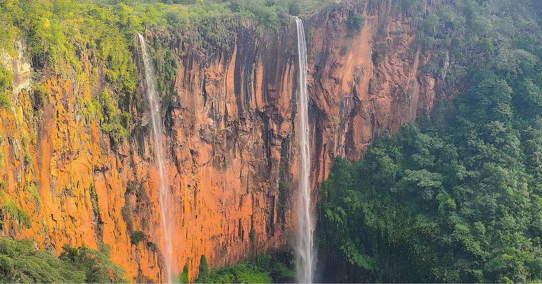
Il futuro Geoparco ‘Baringo Great Rift Valley’ (BGRV) è situato in Kenya nel settore orientale della Grande Valle del Rift, che coinvolge per circa 6.
Il futuro Geoparco ‘Baringo Great Rift Valley’ (BGRV) è situato in Kenya nel settore orientale della Grande Valle del Rift, che coinvolge per circa 6.
ISPRA partecipa attivamente agli Expert Groups di EuroGeoSurveys, l’organizzazione cui afferiscono 37 Servizi Geologici Nazionali in Europa che sta costruendo il futuro Servizio Geologico Europeo Una rete nata più di cinquant’anni fa Tutto ha avuto inizio nel 1971, quando alcuni servizi geologici dell’Europa occidentale, tra cui il Servizio Geologico d’Italia, decisero di istituire la rete dei Servizi Geologici dell’Europa Occidentale (WEGS).

Oggi l’Europa, e l’Italia in particolare, si trovano di fronte a una sfida cruciale: per realizzare la transizione digitale ed ecologica e combattere il cambiamento climatico abbiamo bisogno di una grande quantità di materie prime, come i minerali critici necessari per le tecnologie verdi.